
Home
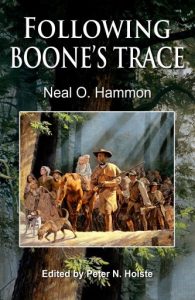 The Boone Society Commissioned Neal Hammon, historian from Shelbyville to author a book that told the story of the Kentucky Boone Trace. It serves as great reading material, but also provides the tourist, a trail guide for traveling the Boone trace Corridor. Our organization has published two of Neal’s writings, “Following Boone’s Trace” and “The Battle of Bluelicks”. Both publications have sold well and we hope to place them in the interpretive centers along the corridor.
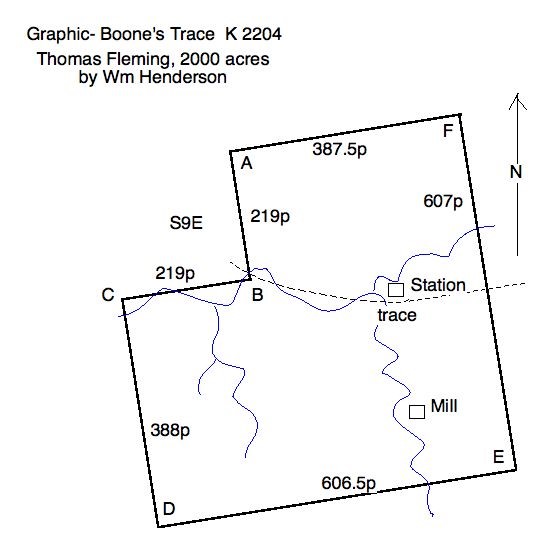
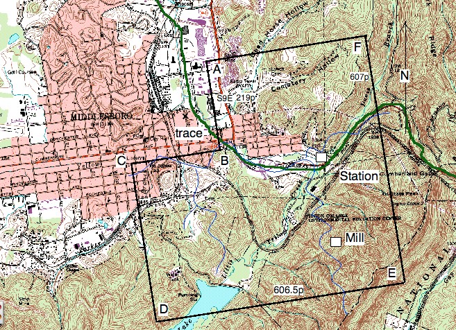
Neal help to find the original Boone Trace by researching the land surveys of the late 1700s. He was successful in locating the surveys that reached from the Comberland Gap National Park to Fort Boonesborough. With that, a map was developed by overlaying todays map with the survey sites, We now have a series of maps that cover the entire area.
The Boone Society has developed a series of promotional items for the venture. They have been manufactured and ready to go. Below are some of those items.

The interpretive sins will be placed at historical sites telling the story of the westward movement. Future plans are for QR codes to be placed on the signs. When a person scans the code. It will open up a video of a frontier guide to give the details of what happened there. It can be enhanced to include children with frontier children tell the story in their perspective. These methods are expensive and will only be added with grant funds or corporate sponsorship. See below, the signs created to assist the traveler in directional and learning experience. They are shown below.
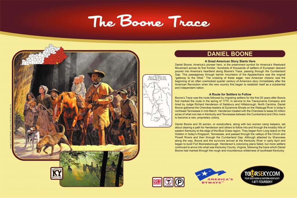
Our first interpretive sign has been placed in Middlesboro, Kentucky.

Second sign is along Yellow Creek in Middlesboro, Kentucky
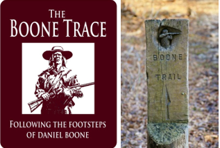
Roadside Signs Trail Markers
Establishing the Route of the Trace
Mapping of the Boone Trace has been furnished by The University of Kentucky Geography Department with the research from Neal O. Hammon. They produced an evolving map that will be placed upon the Boone Trace page on the Kentucky Tourism website.
This map will be a guide for the public to follow the footsteps of Daniel Boone as it progresses along the 120 mile long route. Places of historical interest, monuments, markers and recreational activities that relate to the Boone Trace will be noted on the map. It will be available in both digital form and printed form, distributed by the Kentucky state parks and visitor’s centers.
Neal Hammon determined the route by researching land surveys of the late 1700’s that used the Boone Trace as a reference point. This established our original route of the trace. To build the Boone Trace Corridor for tourism, two parallel routes are given to navigate the trace. The Boone Trace will never be a continuous walking trail due to being overbuilt with railroads, highways and private property. The first parallel road is Highway 25E and 25 called the Boone Trace bypass. This allows a person to quickly move up the corridor by choosing the site they want to visit. The other parallel road is the secondary roads that give access to the wayside signs and places where they can drive and walk upon the Boone Trace.
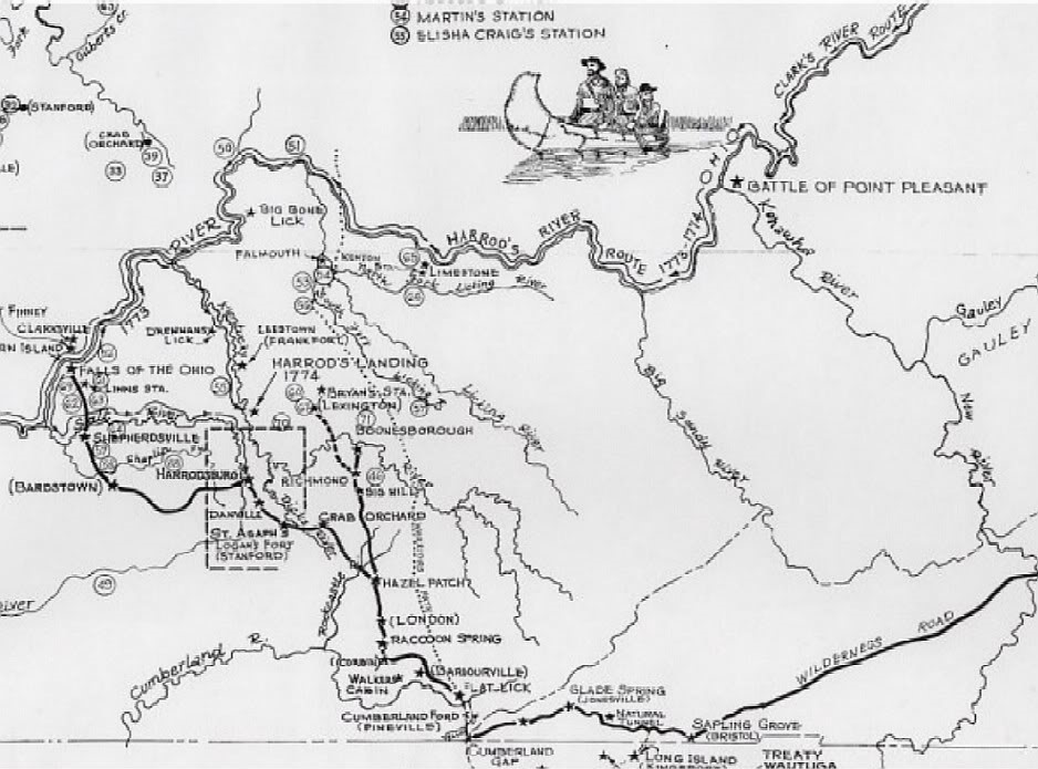
Map of the trails that eventually opened up into Kentucky. Note that the Wilderness Road was created in 1790 for wagon travel. Before that it was the original Boone Trace.
The Boone Trace
Daniel Boone and the Westward Movement
A film by Native Sun Productions
Produced for Cumberland Gap National Historical Park